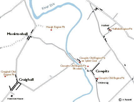
Cowpits Village and the Surrounding Area including Craighall
Cowpits Village and surrounding area This map shows village of Cowpits in 1821 and the location of the main pits at the colliery. The buildings at Craighall and Cowpits are accurately drawn, however Monktonhall is the only village not shown accurately at the moment. Monkton House at the bottom left was the residence of the Hopes of Craighall.
