Bilston, Midlothian
Bilston (often spelt Billston, Bilstone, Bilstane) was a small village of colliers houses on the Dryden estate, owned by the Lockharts of Carnwath.
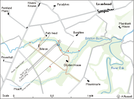
 Shown below are some of the very earliest pits all situated in the valley formed by the Bilston Burn (blue dots are shafts used for drawing water to the surface).
There were 26 seams of coal cutting across the burn but only 5 have been shown here for clarity.
The shaft to the south west of Dryden House,was situated on the Great Seam, the thickest of all the seams at 14 to 15 feet and was of later date than the others.

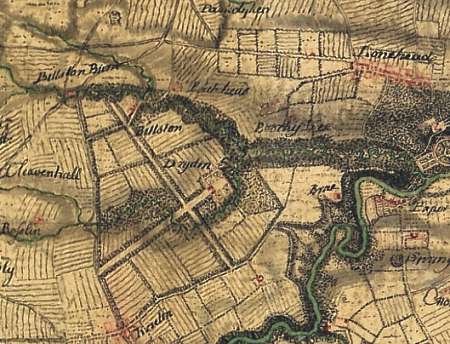
1747-55 Roy's Map of Scotland
This map was a military survey covering the whole of Scotland. It clearly shows Bilston (Billston), the path and bridge over the Bilston Burn and the deep heavily wooded valley.
Just below 'Billston Burn' there are more houses indicated in red. Is this 'Wester Bilston' which I've seen metioned in parish registers?
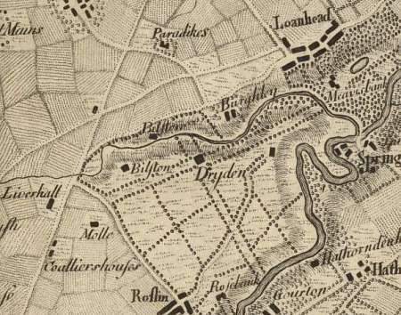
 1766 - Laurie's 'Plan of Edinburgh and Places Adjacent'
This map shows two Bilstons although the top one is actually Path-head.
Clearly shown towards the bottom left, are colliers houses for those working at Goukly Moss, another coal pit on the Dryden estate.
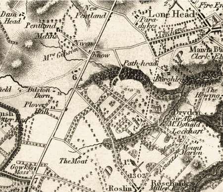
 1832 - John Thomson's Atlas of Scotland
By this time of this survey Bilston has totally disappeared.